Perhaps the best way to begin this blog is to tell how I came to do research in the Transantarctic Mountains. I was leaving grad school at Yale in the spring of 1970, under a cloud, when I said to my mentor, Dick Armstrong, that I was fed up with academia and wanted “to get as far away as possible.” Dick’s response was, “Why don’t you try Antarctica?” and he gave me a list of names at universities that had recently been funded for geological research in the Transantarctic Mountains. Several responses pointed me toward Ohio State, which had just landed a large grant from the National Science Foundation (NSF). The centerpiece of the proposal had been to search for new localities of vertebrate fossils, like the ones found the season before at a place called Coalsack Bluff. But the proposal also included grad students to study each of the major rock groups in the area, and I was chosen to cover the suite of metamorphic rocks.
We were situated at a remote camp in the Transantarctic Mountains, around 600 miles south of McMurdo Station (the main US base on the continent) served by three Huey helicopters, flown and maintained by Navy personnel of VXE-6. The helos had a range of 100 miles, and we occupied two camps, so our coverage was 300 miles of the Transantarctic Mountains. To me, the situation was astounding. A typical work day would be fly out to some remote spot, be left with survival gear, hike and climb around in the mountains all day recording geology and collecting rocks, and then be picked up and flown back to the camp for dinner.
I had grown up in rural, central Pennsylvania steeped in the Appalachians, a lover of mountains, their wildness, their hidden recesses, their vistas, their strenuous demands. It was one of the main reasons that I had chosen to go into geology. By 1970, I had been west several times, had done Geology Field Camp in the Tobacco Root Mountains of western Montana, but beyond that, mountain belts like the Alps, the Himalayas, and the Andes, were all dreams. From regional geology classes and poring over globes, I knew of the Transantarctic Mountains, but they were so obscure that they had never remotely figured in any of my dreams.
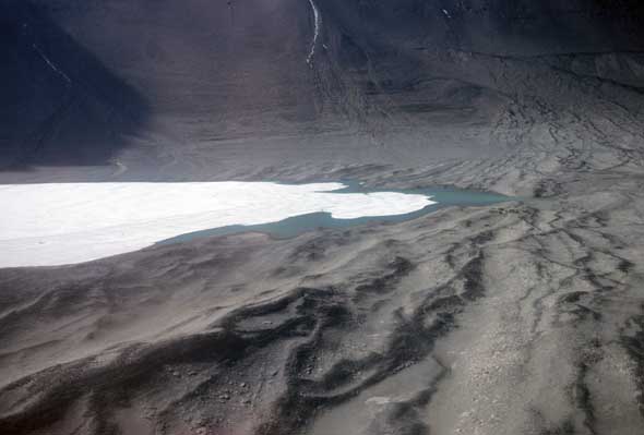
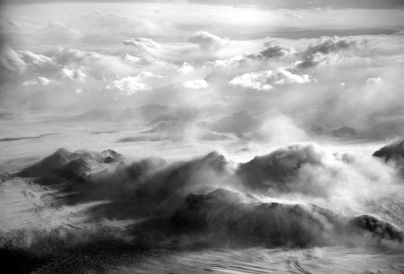
The reality of working in the Transantarctic Mountains was profound. I had never experienced such pristine wilderness. I remember thinking how clean the place was. The landscape was stark and lifeless (an Ahem! here from the microbial biologists), an alien world of ice and rock and wind, fundamental Nature arrayed in the most beautiful shapes and patterns. The research opportunity, too, was amazing, with geological field mapping as the primary activity for data collection, and a virgin region where every day I reached places that no one had set foot before. By the time I returned from Antarctica (from “the Ice” as Antarcticans like to say), I was obsessed with going back.
Suffice it to say that I did make it back, and have continued to do so intermittently over the past 40 years. The patron of my research for all these years has been the National Science Foundation (NSF), specifically the Office of Polar Programs (OPP), which administers the U. S. Antarctic Program (USAP). I have only good things to say about NSF, but should make the disclaimer up front that the opinions expressed in this blog are mine, and do not necessarily reflect those of the National Science Foundation. Research in Antarctica is focused in a variety of fields besides geology, including astrophysics, glaciology, biology, and ocean and atmospheric sciences, with many projects these days having an emphasis in climate studies. The logistics that run the program are an integral part of everyone’s research, and a fascinating subject on their own.
As I move forward with this blog my intention is to recount what it has been like to do fieldwork in the Transantarctic Mountains, the camp life, the logistics of being there, climbing mountains, crossing paths of early explorers, the geology, Nature writ large. Each posting will also include a gallery of several images related by a theme.
Gallery: Ice Puddles
This week’s gallery contains images of what I call “ice puddles.” The ones pictured here formed on the side of a stream at the foot of the Duncan Mountains that was active around the solstice. When midday sunshine warmed rocks of an ice-cored moraine enough to cause melting, the stream babbled by our base camp. The puddles at the side of the stream filled and began to freeze, capturing bubbles beneath the ice. At night when the sun was low, the melting stopped and the stream dried up. The puddles drained, and the expanding airspace beneath the ice traced a series of momentary stands of the air/water/ice interface. The thickness of ice in these images is about 1/4 inch. The polygonal pattern on the final image outlines individual ice crystals, etched by the ablation (evaporation) of H2O molecules at the crystal boundaries.